
How to Use
Open GeoJSON Map Extension Dialog
In Viz view, you can click ‘Setup’ button after selecting ‘Map — GeoJSON’ chart type.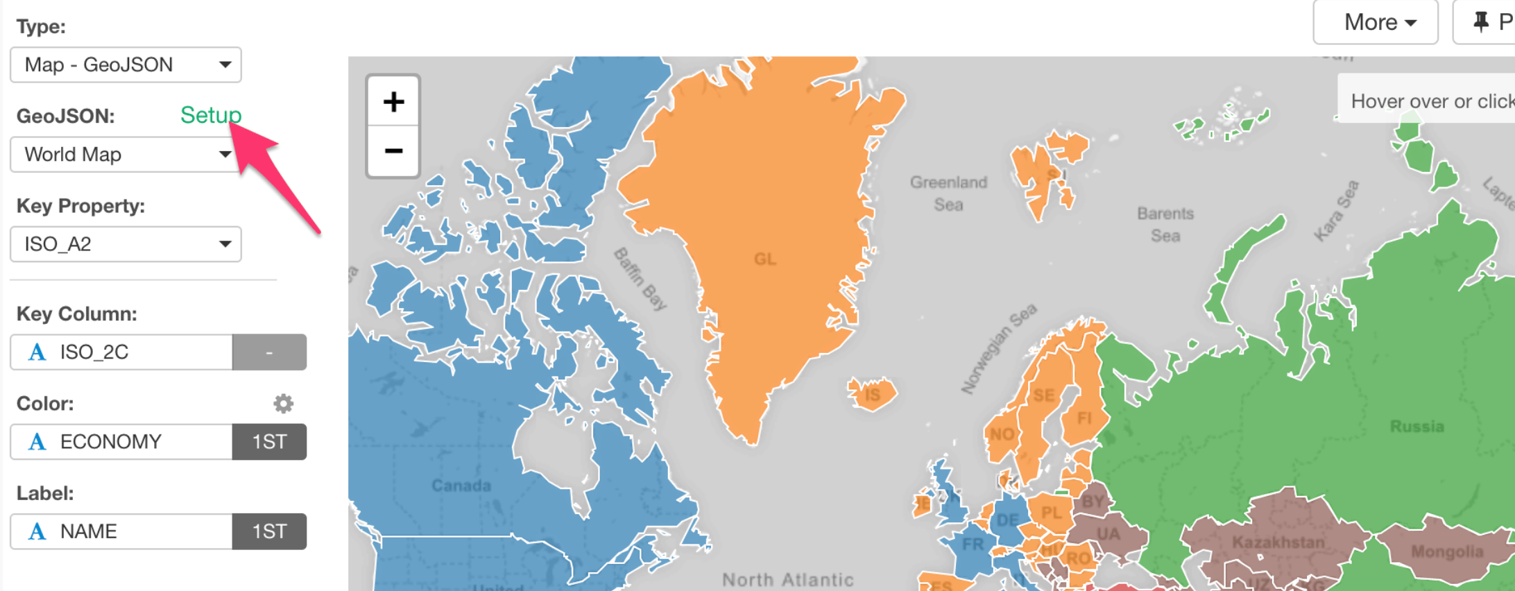
Find GeoJSON Map in Extensions Dialog inside Exploratory
Once you find the one you like, you can click ‘Install’ button, and now you are ready to start using it under Viz tab.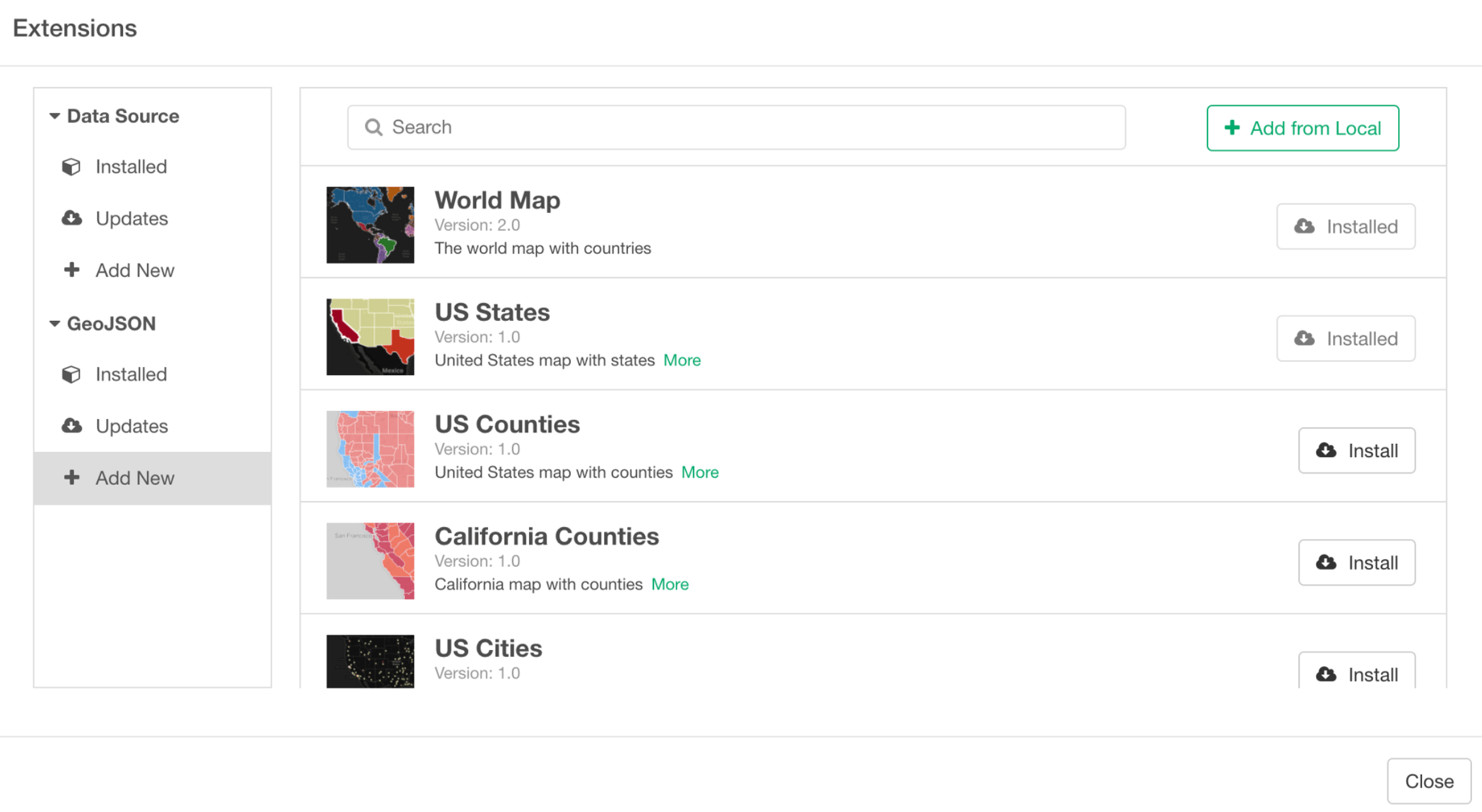
Choosing a Key Property from GeoJSON
Each GeoJSON file provides a list of the properties that you can use to map with your data the way it works the best.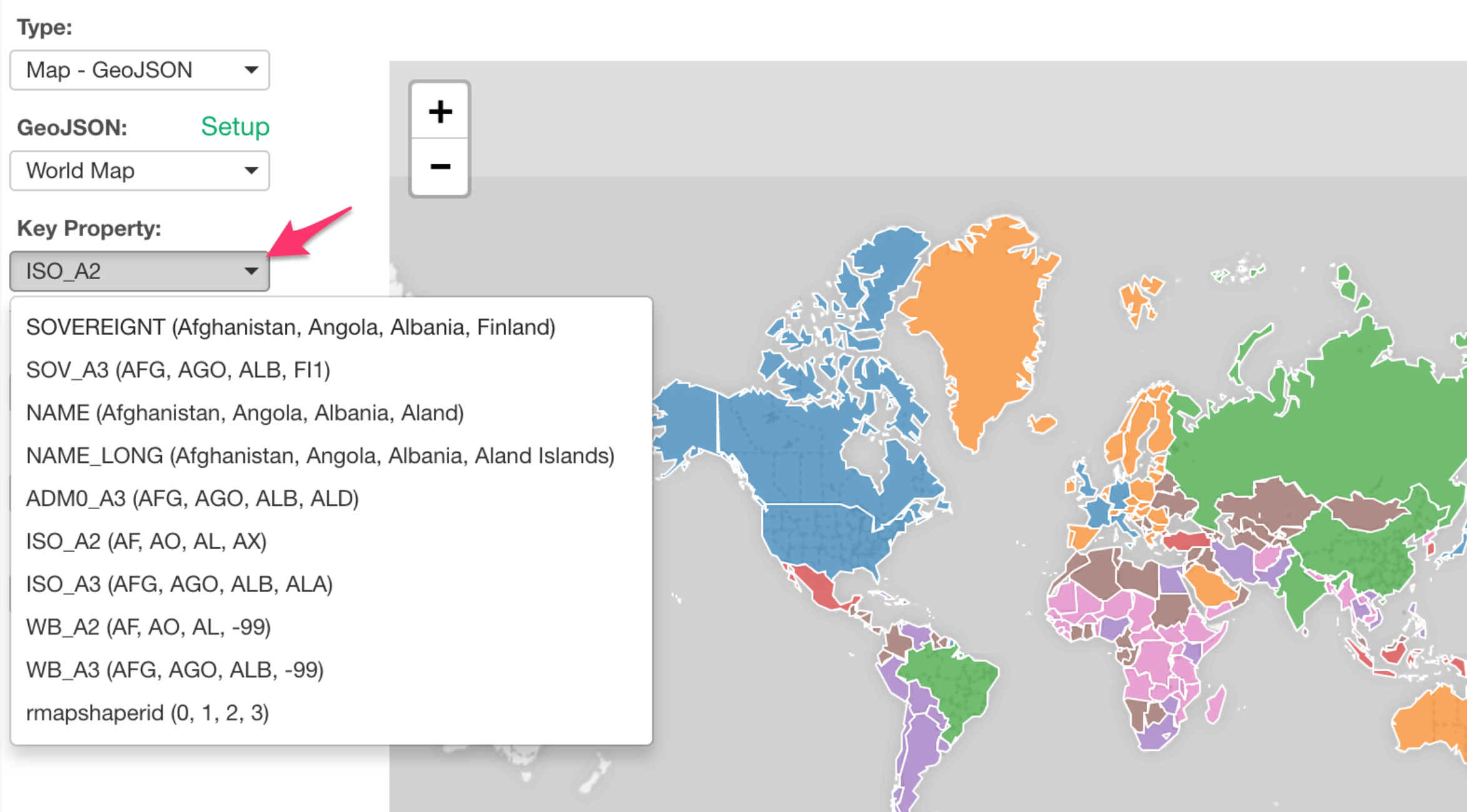
Mapping between GeoJSON’s key property and your data
The example below, I’m using ISO standard country codes found in the data and map them with ‘ISO_A2’ property of World Map GeoJSON.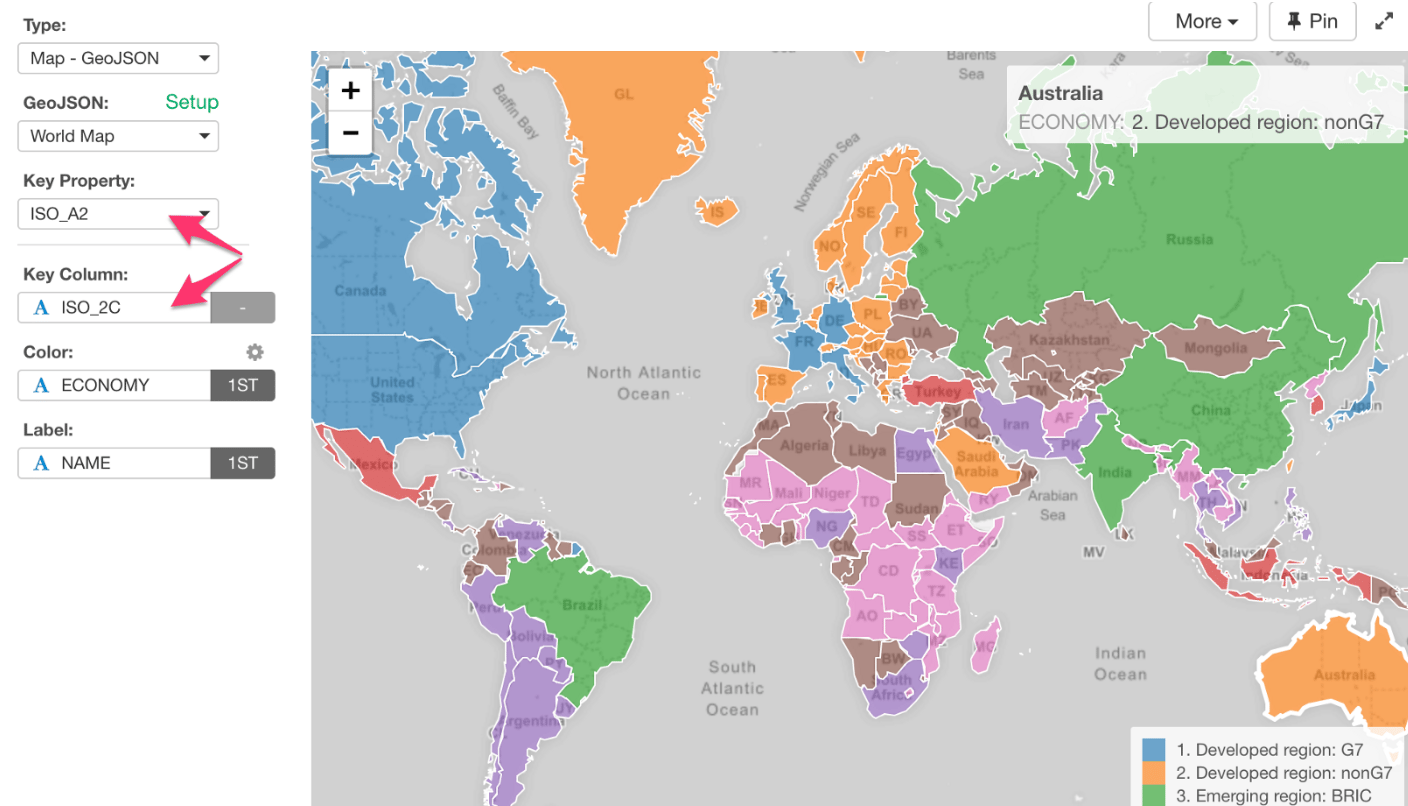
How to Create My GeoJSON?
Here’s how you can create your own GeoJSON files from existing ESRI Shapefile or other formats using R.Column Assignments
- Area Type - Select the area type you want to use.
- Key Property - Select the key property that you wan to use in the selected area type.
- Key Column - Assign a column that has the values to bind the key property values.
- Color By - Assign a column for color. If you assign a categorical column, it will be also used as a groupby column. Take a look at Color section for more details.
- Label - Assign a column you want to show in the balloon help that you see when you hover circles on the map.