Column Assignments
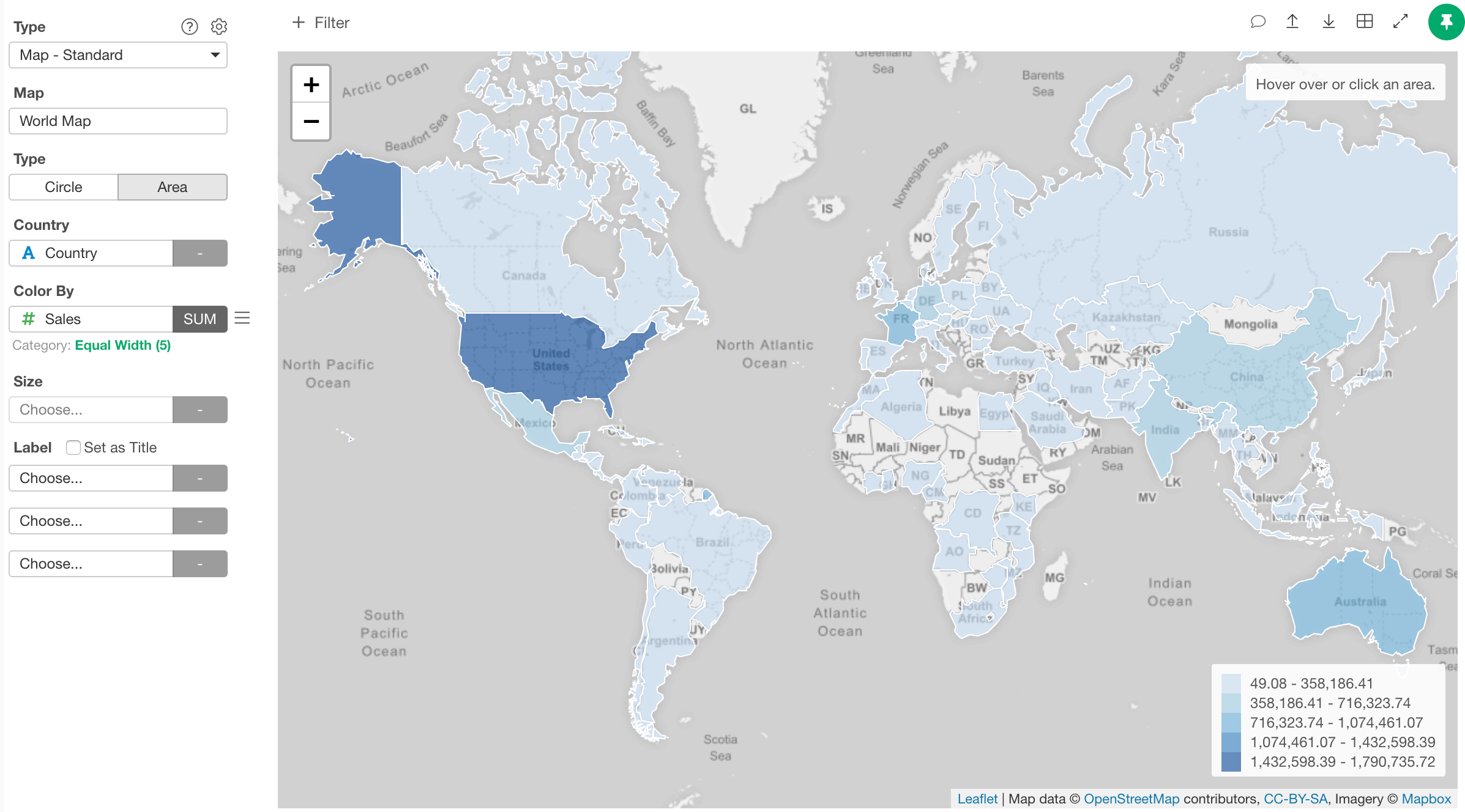
- Map - Select a map you want to use. Following maps are available.
- World Countiries
- US States
- US Counties
- Japan Prefectures
- Type - Select the map type. Either Circle or Area.
- Region such as “Country”, “State”, “Prefecture”, “County” etc - Select a column that has the regional information. It requires different region information depending on the selected map type.
- World Countries
- Country: Country names or country codes (iso2c or iso3c codes)
- US States
- State: United States State names or 2-letter state codes.
- US Counties
- State: United States State names or 2-letter state codes.
- County: United States County names. It can be with or without “county” like “Orange” or “Orange County”
- Japan Prefectures
- Prefecture: Japan Prefecture names in English (such as “Aichi” or “Aichi-ken”), Japanese Kanji (such as “愛知” or “愛知県”) or Japanese Hiragana (such as “あいち”).
- World Countries
- Color By - Assign a column for color. If you assign a categorical column, it will be also used as a groupby column. Take a look at Color section for more details.
- Size - Assign a column for the circle size. It is only available for “Circle” map type.
- Label - Assign a column you want to show in the balloon help that you see when you hover circles on the map. If you click “Set as Title” checkbox, the values of the 1st label column will show up at the top as title in the balloon when you hover a region or circle.
Type
You can choose either “Circle” or “Area” type.Circle
You can visualize the data by circles.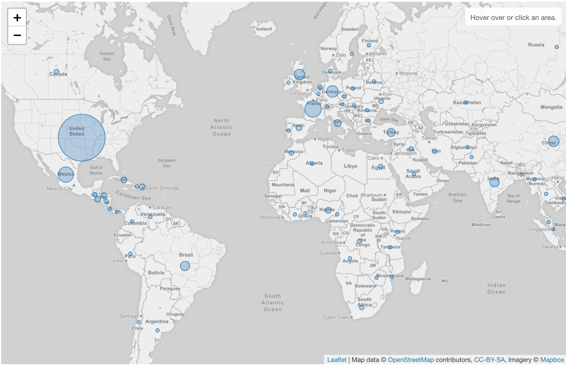
Area Type
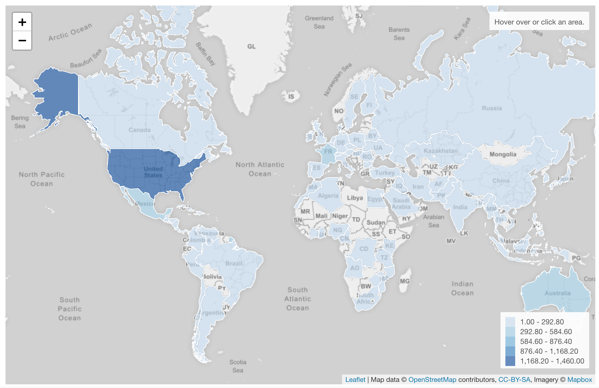
You can visualize the data by the shape of regisons.